10 NOVEMBER 2020: UWA ARTICLE RELEASED
Cost Effective Biodiversity Sampling for Oil and Gas Industry Using National Standards
Authors: Dr Tim Langlois and Dr Anita Giraldo, The University of Western Australia
National Environmental Science Program: Marine Biodiversity Hub
Efficient biodiversity sampling is important for both industry and research. Ship time, especially when working in deeper offshore waters, can be expensive and limit survey times. Effective biodiversity surveys also reduce other operational costs, such as equipment rental and expert services. Obtaining cost-effective and trustworthy biodiversity data is key for environmental assessments.
The National Environmental Science Program: Marine Biodiversity Hub has developed a suite of field manuals that give standard operating procedures for a range of biodiversity sampling platforms, providing a nationally consistent and defensible approach to marine data acquisition across Australia's seas.
In January 2020, these field manuals were used to design and conduct a cost-effective Baited Remote Underwater Video (BRUV) survey of deeper water (100–180 m) fish communities in the Pilbara area from the Special Purpose Vessel Warrego. The survey was commissioned by Woodside Energy Ltd and led by Guardian Geomatics with assistance from Advisian and The University of Western Australia.
The team faced a tight schedule with Tropical Cyclone ‘Blake’ cutting short the survey schedule. In only three days, the team produced seafloor maps from newly acquired hydroacoustic data, used the maps and the Hub Field Manual for Survey Design to pinpoint sampling sites, and completed multiple BRUV deployments following the Hub Field Manual for BRUVs.

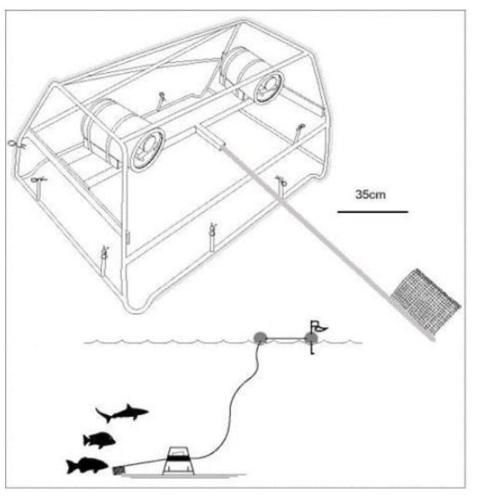
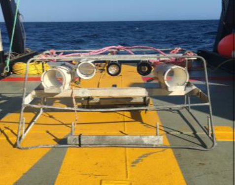
ABOVE/ BELOW: Stereo Baited Remote Underwater Video (Stereo-BRUV) used for sampling.


The use of the Hub Field Manual for Survey Design guarantees that each sample provides as much unique information as possible while considering logistical constraints such as survey time. This ensured that robust population estimates could still be made from the completed BRUV samples and used to characterise the fish community across the study area.

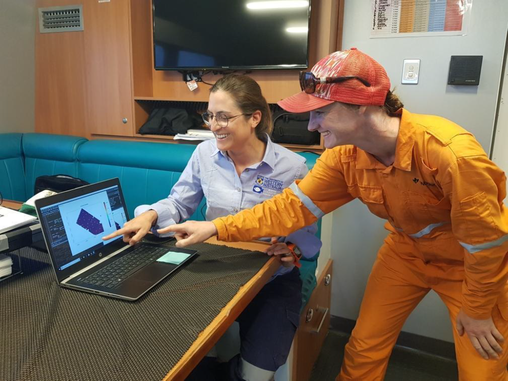
ABOVE: Anita Giraldo (UWA) and Kate Swain (Woodside) applying the survey design field manual on board Gun Marine's the SPV Warrego to plan the next day's BRUV sites.
The Hub Field Manual for Survey Design can increase the cost-effectiveness of data collection while preserving its quality; delivering good science for industry that is nationally consistent and defensible information.

ABOVE: Yellow snout seabream (Dentex carpenteri) sampled by BRUV (A) and its predicted distribution across the study area.

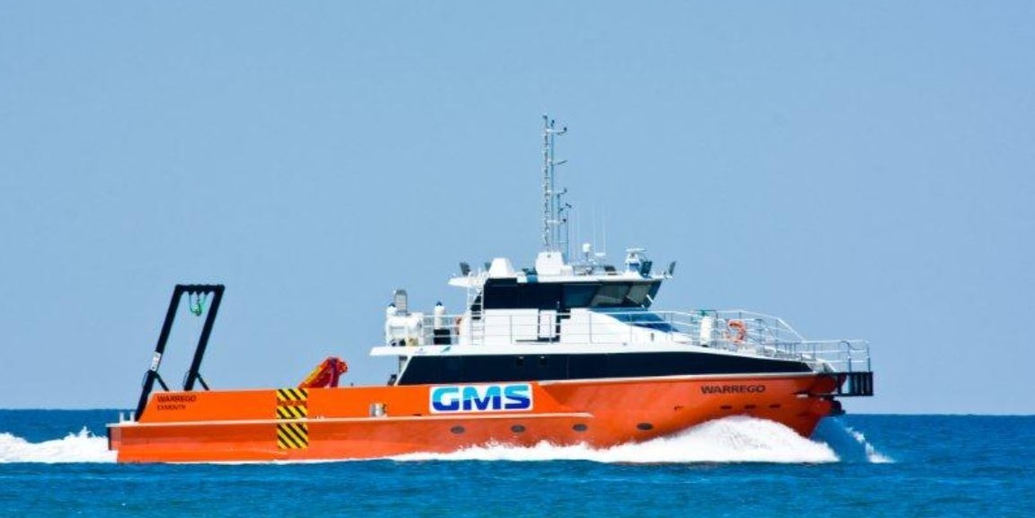
ABOVE: Gun Marine's the Special Purpose Vessel Warrego was used to conduct the hydroacoustic mapping.
FOR MORE INFORMATION & MEDIA ENQUIRIES CONTACT:
Steve Duffield
+61-419-378-430
steve.duffield@guardiangeomatics.com
